Uploads by Mariomr16
Jump to navigation
Jump to search
This special page shows all uploaded files.
| Date | Name | Thumbnail | Size | Description | Versions |
|---|---|---|---|---|---|
| 20:30, 14 January 2013 | IMG 8202 copy.jpg (file) |  |
985 KB | 1 | |
| 20:29, 14 January 2013 | IMG 8225 copy.jpg (file) |  |
828 KB | 1 | |
| 20:10, 14 January 2013 | Teg3 copy2.jpg (file) |  |
1.08 MB | 1 | |
| 20:09, 14 January 2013 | Teg 4 copy2.jpg (file) |  |
937 KB | 1 | |
| 20:09, 14 January 2013 | IMG 8185 copy2.jpg (file) |  |
1.31 MB | 1 | |
| 20:07, 14 January 2013 | Comayaguela copy.jpg (file) |  |
575 KB | 1 | |
| 20:01, 14 January 2013 | Area rio tegucigalpa1.jpg (file) |  |
1.69 MB | 1 | |
| 23:29, 13 January 2013 | TegucigalpaClimateChange3.jpg (file) |  |
879 KB | 1 | |
| 23:28, 13 January 2013 | TegucigalpaClimateChange1.jpg (file) |  |
1.3 MB | 1 | |
| 23:17, 13 January 2013 | Tegucigalpa Climate Change2 .jpg (file) |  |
1.87 MB | 1 | |
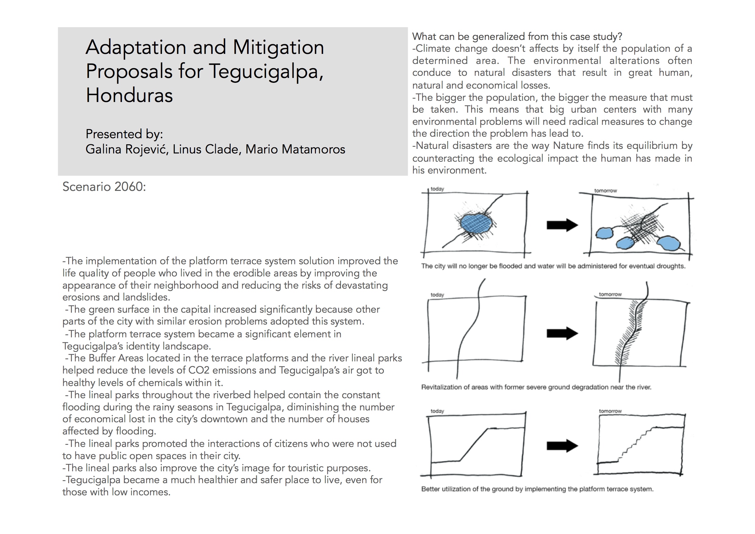
| 21:10, 13 January 2013 | Scenario 2060TG.jpg (file) |  |
588 KB | 1 | |
| 20:23, 13 January 2013 | Tegucigalpa 12.61km.jpg (file) |  |
126 KB | 1 | |
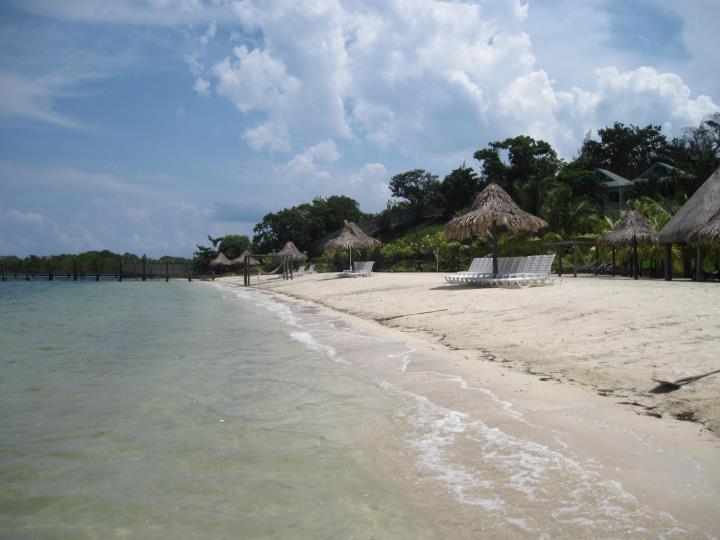
| 20:22, 13 January 2013 | Roatan.jpg (file) |  |
46 KB | 1 | |
| 20:22, 13 January 2013 | Puhlapanzak.jpg (file) |  |
171 KB | 1 | |
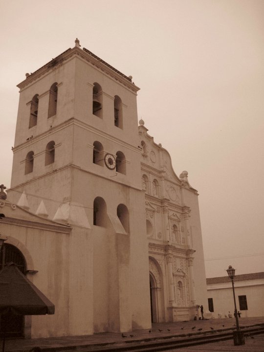
| 20:22, 13 January 2013 | Catedralcomayagua.jpg (file) |  |
48 KB | 1 | |
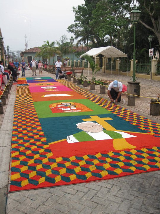
| 20:21, 13 January 2013 | AlfombrasCOmayagua.jpg (file) |  |
108 KB | 1 | |
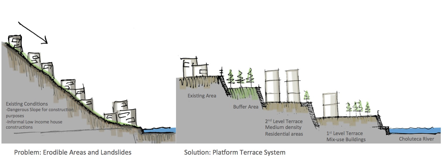
| 19:10, 13 January 2013 | Proposal 2 TG .jpg (file) |  |
744 KB | 1 | |
| 19:09, 13 January 2013 | Proposal 1TG .jpg (file) |  |
110 KB | 1 | |
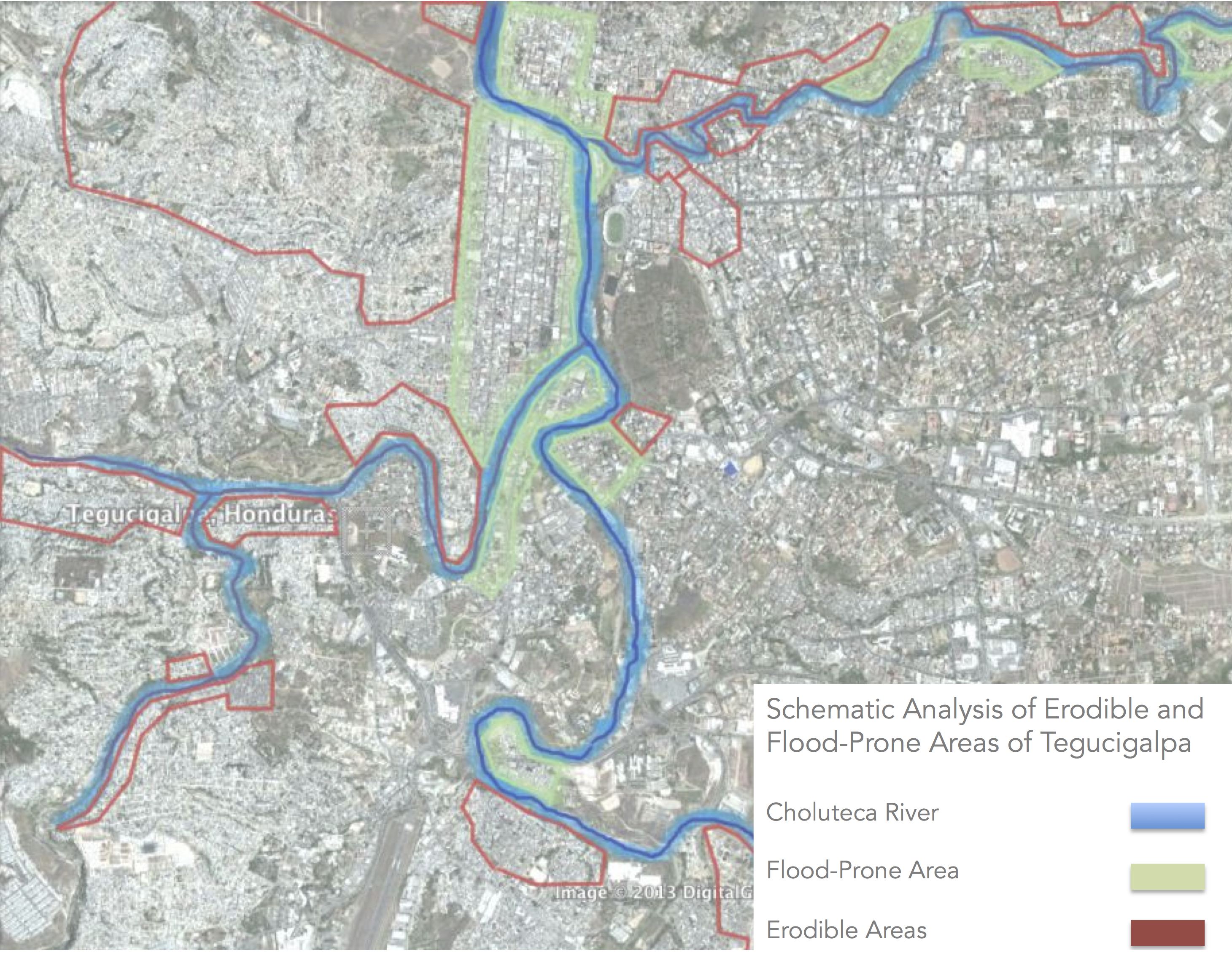
| 13:24, 13 January 2013 | Erodible and flood-prone areas Tegucigalpa copy.jpg (file) |  |
841 KB | 1 | |
| 12:47, 13 January 2013 | Analysis of Landuse .jpg (file) |  |
556 KB | 1 | |
| 11:07, 13 January 2013 | TemperatureChart.jpg (file) | 1.5 MB | Average Annual Temperature of Tegucigalpa | 1 | |
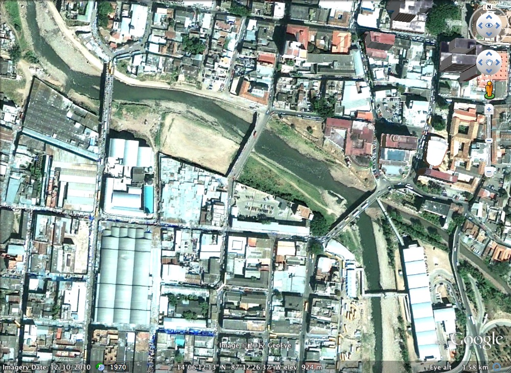
| 22:51, 12 December 2012 | Tegucigalpa downton 1.58 km.jpg (file) |  |
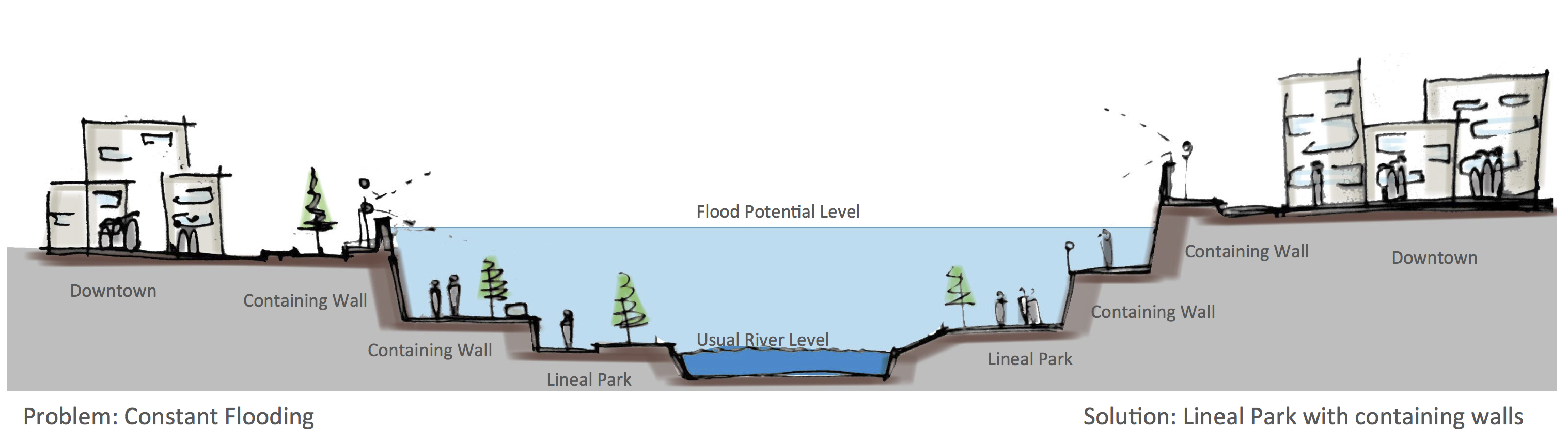
412 KB | Tegucigalpa (up) and Comayaguela's (down) down-town is connected by the Choluteca River. Frecuent flooding has caused the proximity areas of the river to remain unused by the citizens in a district that lacks of public urban spaces and infrastructure to p | 1 |
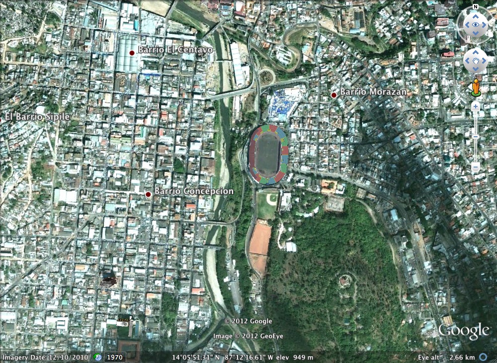
| 22:47, 12 December 2012 | Tegucigalpa satellite image .jpg (file) |  |
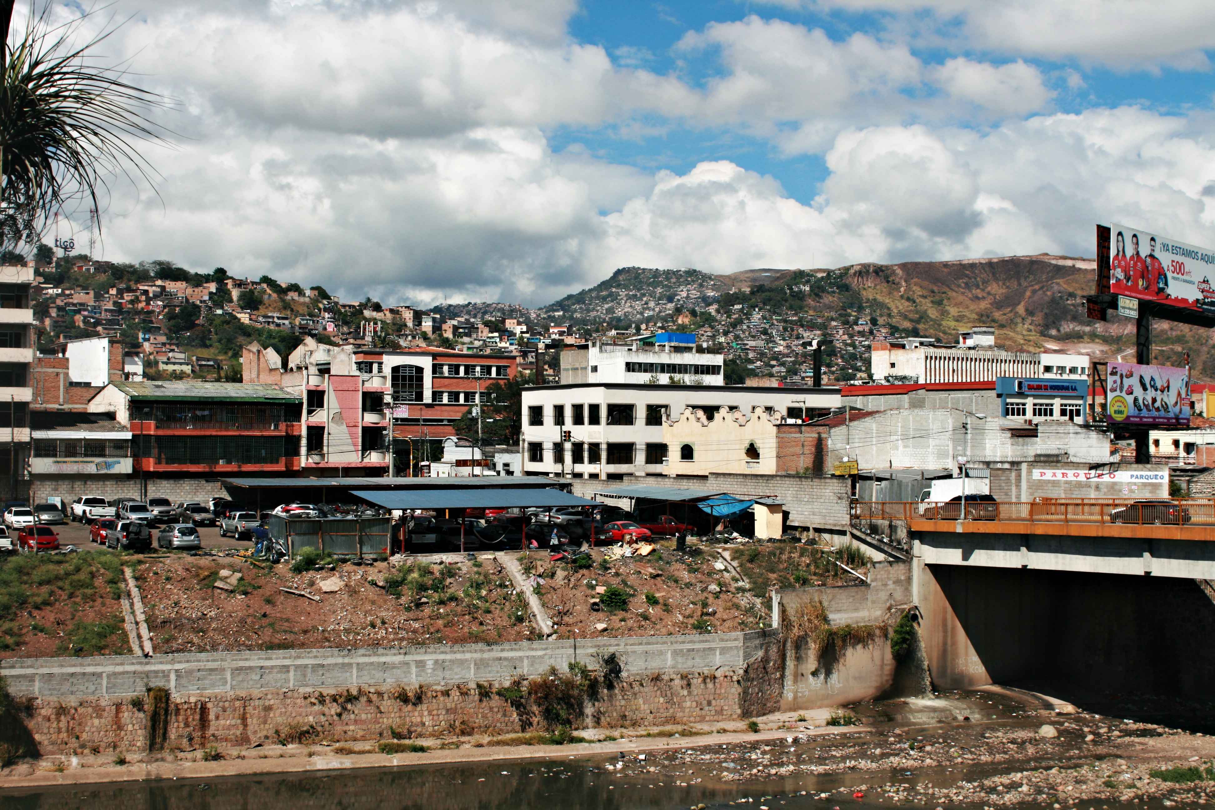
446 KB | Tegucigalpa is divide into two cities: Tegucigalpa (right of the river) and Comayagüela(left) founded along the Choluteca River. This is also the lowest topographical point in the city making it incredibly vulnerable to flooding and erosions. | 1 |
| 23:23, 11 December 2012 | Riverfinal.jpg (file) |  |
74 KB | Reverted to version as of 23:22, 11 December 2012 | 14 |