Planting Design 2013 Working Group 15 - Case Study B
---> back to group page working group 15
't Veld - Ardooie - Belgium
| Name | 't Veld | |
| Location | Ardooie | |
| Country | Belgium | |
| Authors | Ruben De Coninck | |
| ||
|
| ||
Rationale: Why is this case interesting?
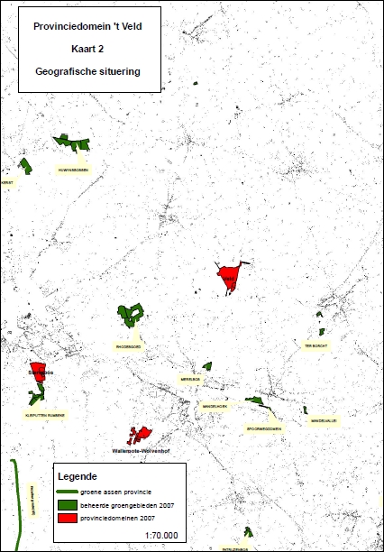
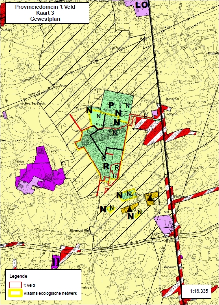
"‘’t Veld’ is with his 44ha the biggest green area in the green less region of Ardooie-Tielt. ‘t Veld’ is a nature reserve in the framework of the ‘Natura 2000 network’. The aim of the natura 2000 network is to assure the long-term survival of Europe's most valuable and threatened species and habitats.
This area is situated 6km from my home.
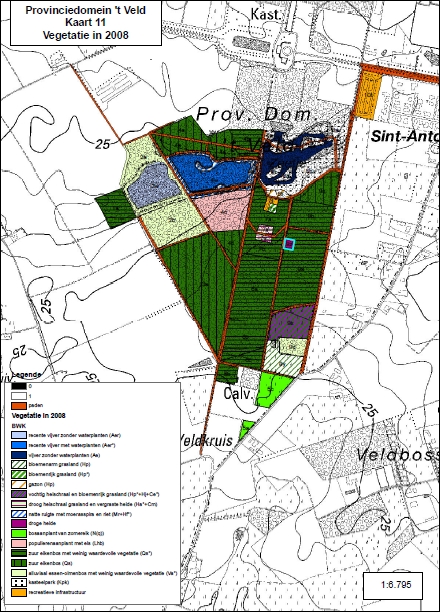
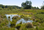
The name ‘’t Veld’ comes from field(in dutch: veld) areas or wastine areas, these are treeless areas with field ponds and fragments of thickets. The vegetation was dominated by Heath and Carex.
In the 18the century a rich family build there castle in that area and they gave the order to plant a deciduous forest.
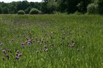
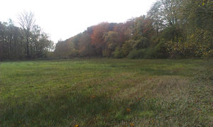
On the picture you can see an open space between the forest and the agricultural area, it’s a typical open space at the border of the forest where u can find relicts of the original vegetation, a lot of animals take advantage of these open spaces like amphibians and roe deer’s. Nowadays it’s also a good habitat for a lot of flowering plants.
The provincial government has made a management plan for the preservation of the typical habitat types that you can find in ‘’t Veld’.
Author's perspective
In juli I graduated in a bachelor program in landscape development, that’s a follow up program during 1 year that I followed after my bachelor’s degree in landscape and garden architecture, both in Gendt. The landscape development program followed a strong analytic approach of landscapes on different scale levels, from large to very large scales. In the framework of the projects there was an important approach of some themes, for example; history, GIS, planning policy, ecology, … The aim of the projects was to get to some important planning and design principles by assessing and evaluating due the project period.
In Flanders (the Dutch part of Belgium) we have, considering the european landscape, quite a unique landscape. There is a lot of fragmentation of the open/natural spaces and that’s the reason why planners and landscape architects in Flanders have to deal with the issue of the connection of the few remaining open/natural spaces by natural corridors and the intern expending of the urban areas. ’t Veld’ is with his 44ha the biggest green area in the green less region of Ardooie-Tielt. It is a nature reserve in the framework of the ‘Natura 2000 network’.
I personally am very interested in the relicts of our historical landscape and that’s the reason why I’ve chosen for this case.
Landscape and/or urban context of your case
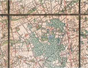
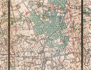
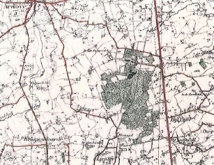
Historical development: 1775(Ferraris): 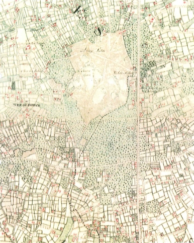 ,
,
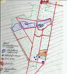
Analytical drawings
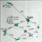
Like I’ve said, 't Veld is a isolated green area, an other area called ‘Sterrebos’ is also very valuable, it’s also an earlier field/wastine area.
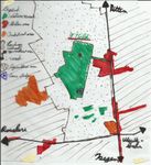
The cultural influence is clearly perceivable through the time. The Castle and the avenues are visual perceivable, the excavation of the area by analyses of the maps and the ground of the site.
As you can see at the analytical drawings the case area is the only not excavated peace of the whole site ‘‘t veld’. It’s a heather temporary wetland where you can find relicts of the original plants like Potentilla erecta, some heather plants and a lot of Carex sorts. In a 20km circle you only can find some of these plants in the ‘Sterrebos’. The temporary wetland is a good habitat for a lot of amphibians, insects, …. Definitely with the presence of the field pond relicts in the area. Over the time the ponds had silted up, nowadays the relicts are nearly disappeared.
- Analytical Drawings
Projective drawings
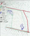
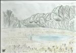
By recovering the field ponds there will be an revalorization of the site. The rare plants which are growing at the site will get more chances to survive. This by maintaining the site through attenuation.
- Projective Drawings
Summary and conclusion
The temporary wetland is a good habitat for a lot of amphibians, insects, …. Definitely with the presence of the field pond relicts in the area. Over the time the ponds had silted up, nowadays the relicts are nearly disappeared.
By recovering the field ponds and starting a maintenance program the plant-relics, the amphibians and lot of other animals like insect will keep their habitat.
This through the revalorization and preservation of the site.
Image Gallery
You may add a series of images/photos in addition to the sketches/drawings
- Image Gallery
- Yourfilename1.jpg
image 1
- Yourfilename2.jpg
image 2
- Yourfilename3.jpg
image 3
- Yourfilename4.jpg
image 4
References
* Please make sure that you give proper references of all external resources used.
* Do not use images of which you do not hold the copyright.
* Please add internet links to other resources if necessary.
About categories: You can add more categories with this tag: "", add your categories
