File:Floodsensitive.jpg
Size of this preview: 800 × 421 pixels. Other resolution: 2,642 × 1,389 pixels.
Original file (2,642 × 1,389 pixels, file size: 500 KB, MIME type: image/jpeg)
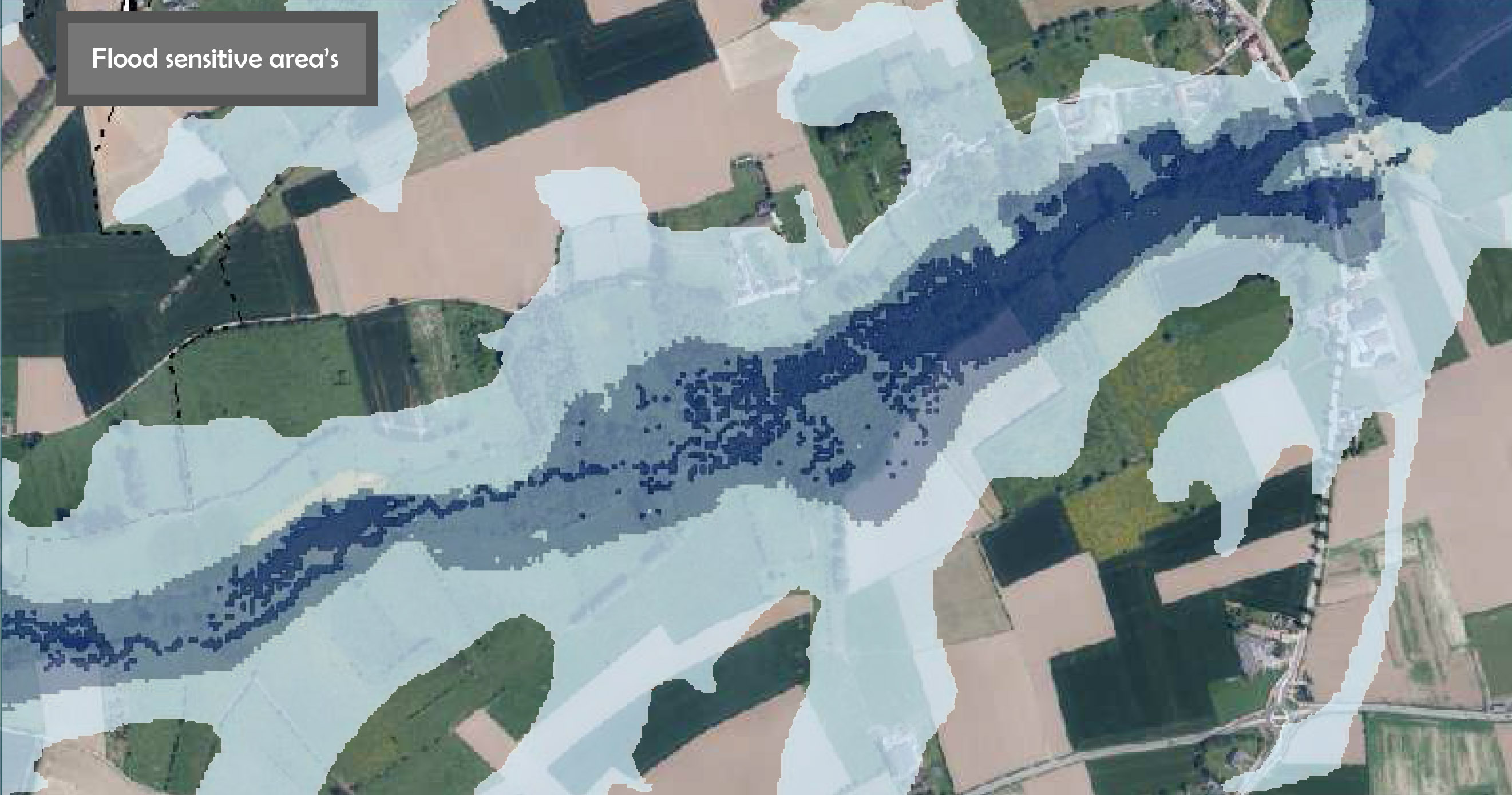
Analytical chart/map of the flood sensitive area's
File history
Click on a date/time to view the file as it appeared at that time.
| Date/Time | Thumbnail | Dimensions | User | Comment | |
|---|---|---|---|---|---|
| current | 19:55, 20 November 2013 | | 2,642 × 1,389 (500 KB) | Iweinmertens (talk | contribs) | Analytical chart/map of the flood sensitive area's |
You cannot overwrite this file.
File usage
The following page uses this file: