File:Spatial analysis 1.jpg
Jump to navigation
Jump to search
Size of this preview: 396 × 599 pixels. Other resolutions: 1,354 × 2,048 pixels | 4,724 × 7,146 pixels.
Original file (4,724 × 7,146 pixels, file size: 4.03 MB, MIME type: image/jpeg)
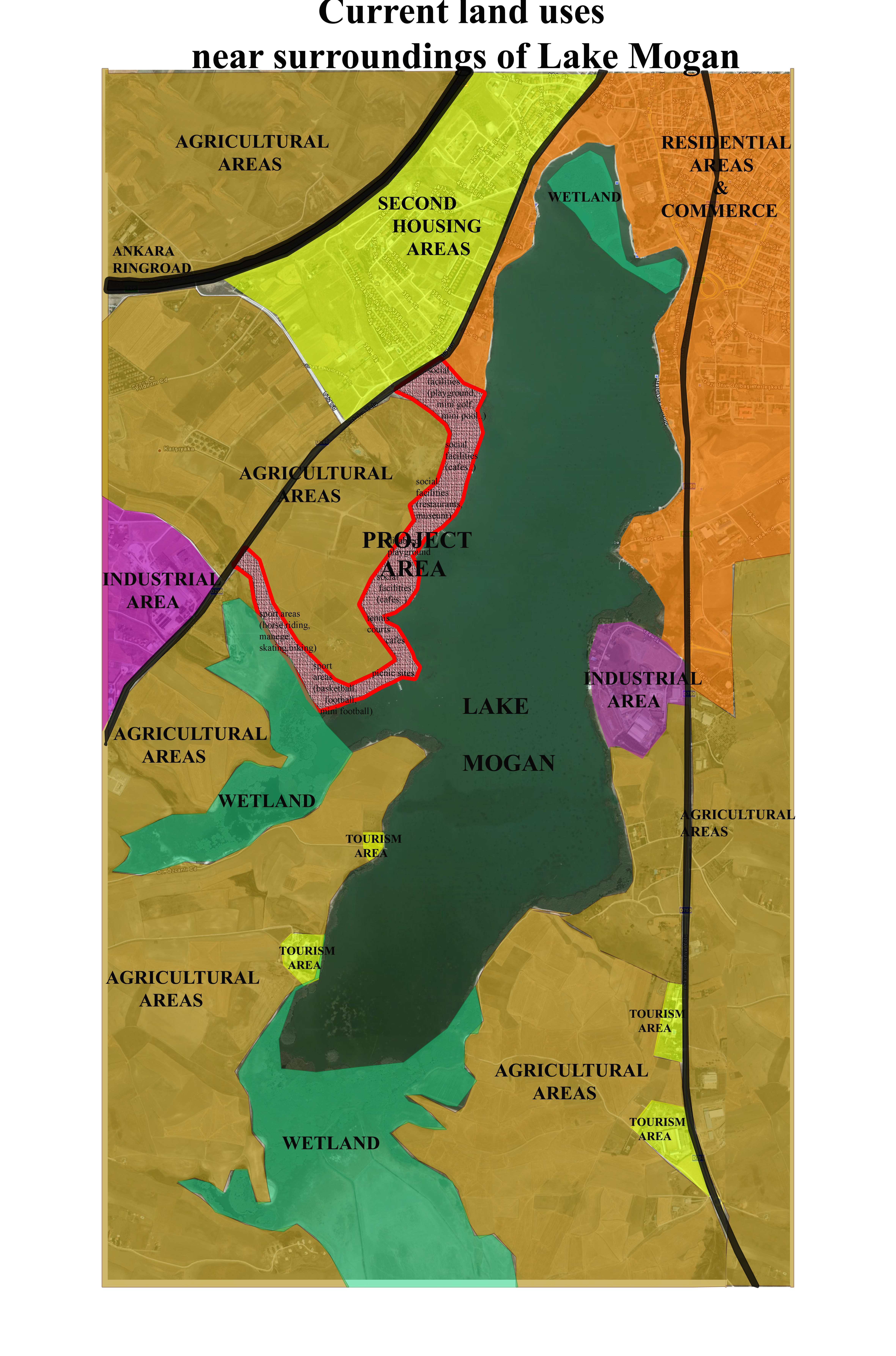
Current land-use types near surroundings of Lake Mogan Park Project
File history
Click on a date/time to view the file as it appeared at that time.
| Date/Time | Thumbnail | Dimensions | User | Comment | |
|---|---|---|---|---|---|
| current | 15:16, 19 January 2009 | | 4,724 × 7,146 (4.03 MB) | Emelbaylan (talk | contribs) | Current land-use types near surroundings of Lake Mogan Park Project |
You cannot overwrite this file.
File usage
There are no pages that use this file.