File:Railway network.jpg
Jump to navigation
Jump to search


Size of this preview: 800 × 550 pixels. Other resolution: 864 × 594 pixels.
Original file (864 × 594 pixels, file size: 153 KB, MIME type: image/jpeg)
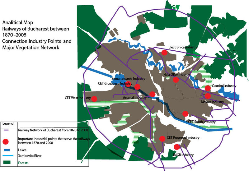
Analitical Map which describes how the railway network is positioned towards the major forests around the town as well as towards the lakes and the river crossing the town.
File history
Click on a date/time to view the file as it appeared at that time.
| Date/Time | Thumbnail | Dimensions | User | Comment | |
|---|---|---|---|---|---|
| current | 15:57, 18 November 2013 |  | 864 × 594 (153 KB) | Helenapatra (talk | contribs) | Analitical Map which describes how the railway network is positioned towards the major forests around the town as well as towards the lakes and the river crossing the town. |
You cannot overwrite this file.
File usage
The following page uses this file: