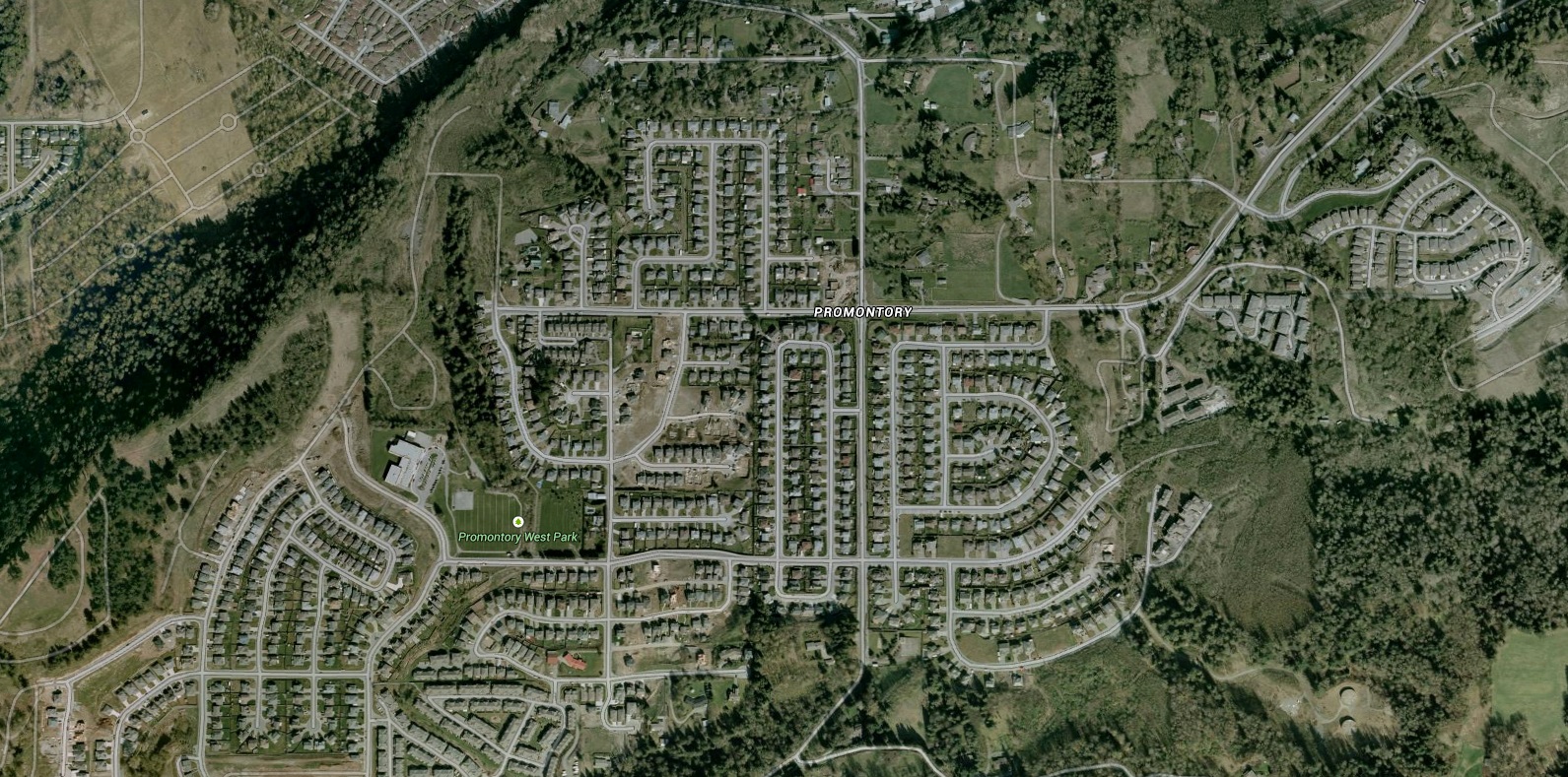
File:Promontory Satellite View.jpg
Jump to navigation
Jump to search
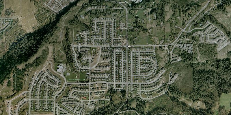
Size of this preview: 800 × 397 pixels. Other resolution: 1,591 × 789 pixels.
Original file (1,591 × 789 pixels, file size: 655 KB, MIME type: image/jpeg)
Google Maps Satellite View of the Promontory Neighborhood taken 17th Nov. 2014
File history
Click on a date/time to view the file as it appeared at that time.
| Date/Time | Thumbnail | Dimensions | User | Comment | |
|---|---|---|---|---|---|
| current | 01:28, 18 November 2014 | | 1,591 × 789 (655 KB) | Andreeaw (talk | contribs) | Google Maps Satellite View of the Promontory Neighborhood taken 17th Nov. 2014 |
You cannot overwrite this file.
File usage
The following page uses this file: