File:Land use funtional map.jpg
Jump to navigation
Jump to search
Size of this preview: 800 × 462 pixels. Other resolution: 1,220 × 704 pixels.
Original file (1,220 × 704 pixels, file size: 138 KB, MIME type: image/jpeg)
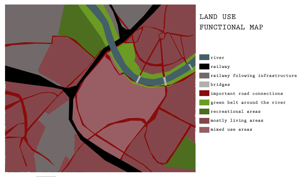
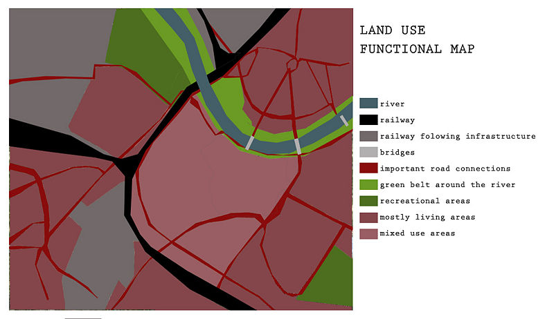
Land use map shows different funcional areas that are important in the city and influenced by Dresden's railway
File history
Click on a date/time to view the file as it appeared at that time.
| Date/Time | Thumbnail | Dimensions | User | Comment | |
|---|---|---|---|---|---|
| current | 23:58, 27 November 2011 | | 1,220 × 704 (138 KB) | Dragana Romic (talk | contribs) | Land use map shows different funcional areas that are important in the city and influenced by Dresden's railway |
You cannot overwrite this file.
File usage
The following page uses this file: