File:Basins of Venice.png
Basins_of_Venice.png (472 × 368 pixels, file size: 80 KB, MIME type: image/png)
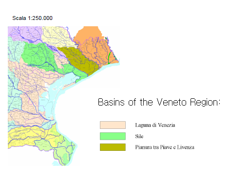
� Map from: http://www.arpa.veneto.it/temi-ambientali/acqua/acque-interne/bacino-scolante-1� �Lagoon – lat.lacus, "lake" –international name for an enclosed, shallow embayment of salt water��The drainage basin, also known as ‘’ Il bacino scolante’’ is the area where the surface water network ( under conditions of normal flow )flows in the lagoon of Venice.�The surface of the drainage basin is composed of two areas:��the territories of the tributaries of the river basin surface waters which open in the lagoon of Venice;��the territories that affect water bodies draining of the lagoon of Venice by the spring waters, identified as Charge Area.�
File history
Click on a date/time to view the file as it appeared at that time.
| Date/Time | Thumbnail | Dimensions | User | Comment | |
|---|---|---|---|---|---|
| current | 23:49, 17 December 2012 | | 472 × 368 (80 KB) | Lena (talk | contribs) | � Map from: http://www.arpa.veneto.it/temi-ambientali/acqua/acque-interne/bacino-scolante-1� �Lagoon – lat.lacus, "lake" –international name for an enclosed, shallow embayment of salt water��The drainage basin, also known as ‘’ Il b |
You cannot overwrite this file.
File usage
There are no pages that use this file.