File:Tegucigalpa satellite image .jpg
Size of this preview: 800 × 584 pixels. Other resolution: 1,000 × 730 pixels.
Original file (1,000 × 730 pixels, file size: 446 KB, MIME type: image/jpeg)
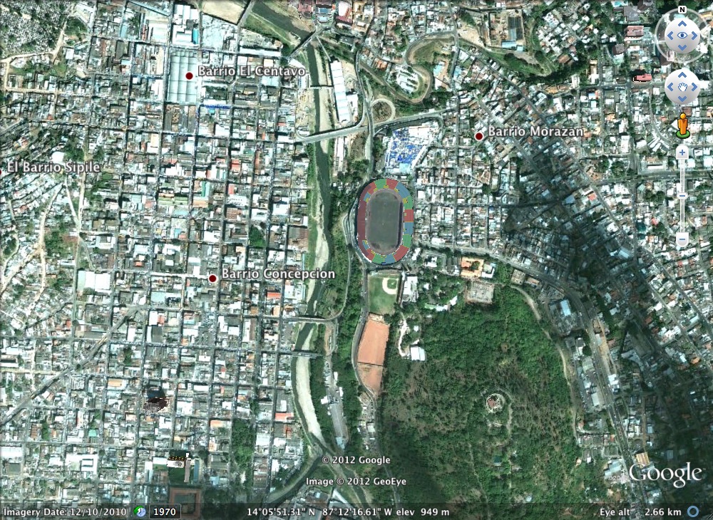
Tegucigalpa is divide into two cities: Tegucigalpa (right of the river) and Comayagüela(left) founded along the Choluteca River. This is also the lowest topographical point in the city making it incredibly vulnerable to flooding and erosions.
File history
Click on a date/time to view the file as it appeared at that time.
| Date/Time | Thumbnail | Dimensions | User | Comment | |
|---|---|---|---|---|---|
| current | 22:47, 12 December 2012 | | 1,000 × 730 (446 KB) | Mariomr16 (talk | contribs) | Tegucigalpa is divide into two cities: Tegucigalpa (right of the river) and Comayagüela(left) founded along the Choluteca River. This is also the lowest topographical point in the city making it incredibly vulnerable to flooding and erosions. |
You cannot overwrite this file.
File usage
There are no pages that use this file.