Uploads by Wilsonp
Jump to navigation
Jump to search
This special page shows all uploaded files.
| Date | Name | Thumbnail | Size | Description | Versions |
|---|---|---|---|---|---|
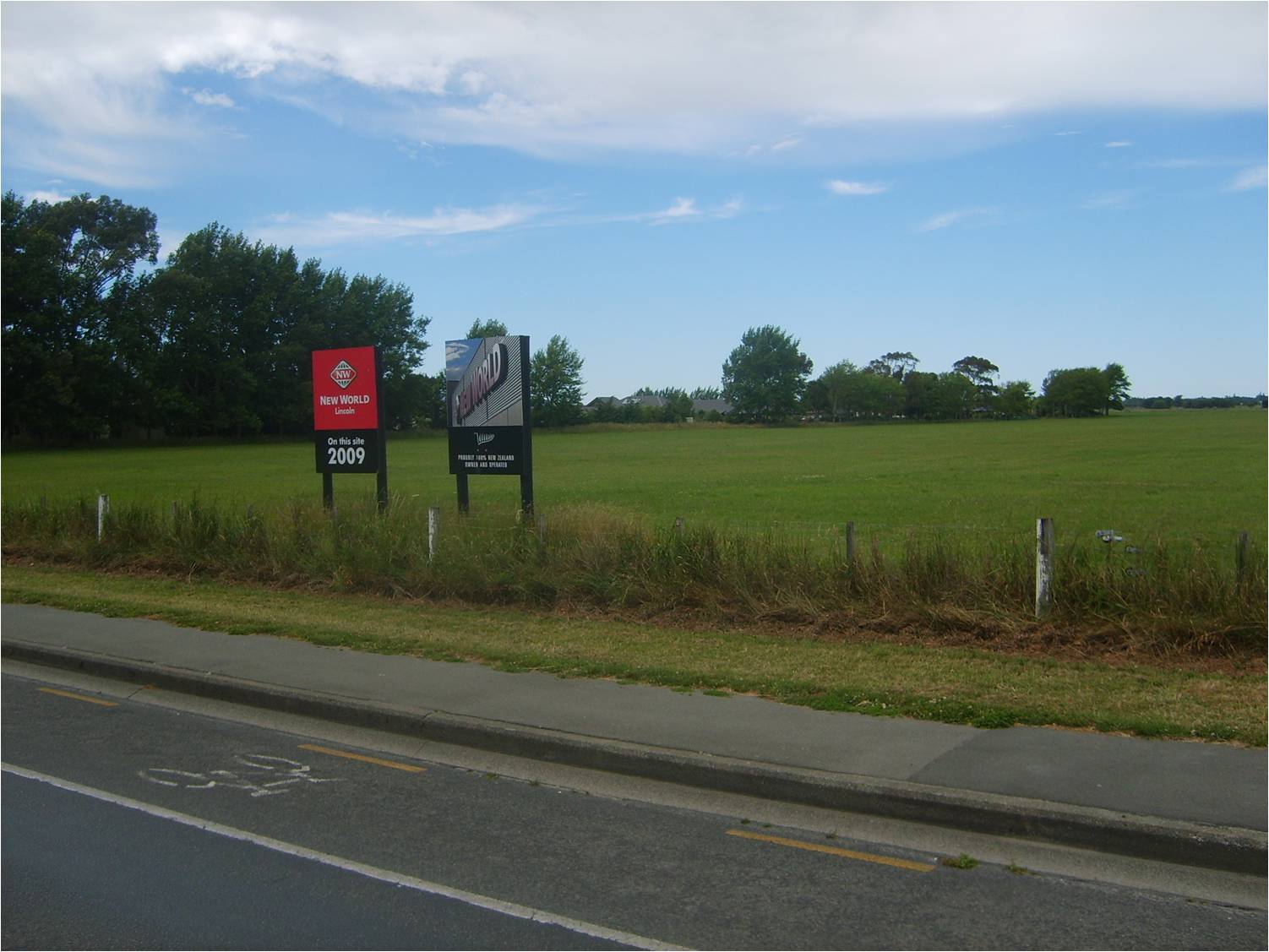
| 04:37, 23 January 2009 | Proposed Supermarket Site.jpg (file) |  |
156 KB | 1 | |
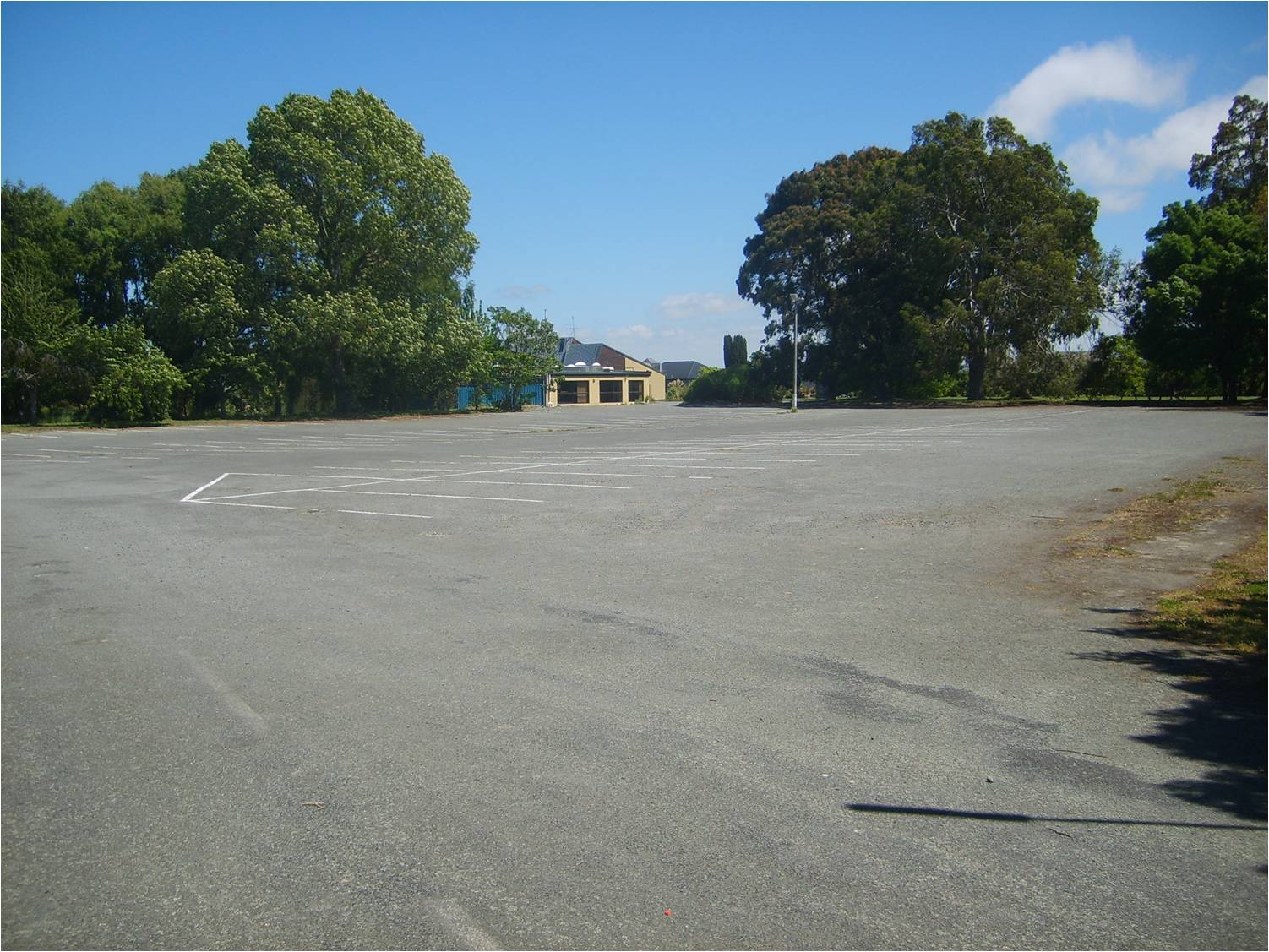
| 04:37, 23 January 2009 | Old Country Club Car Park.jpg (file) |  |
251 KB | 1 | |
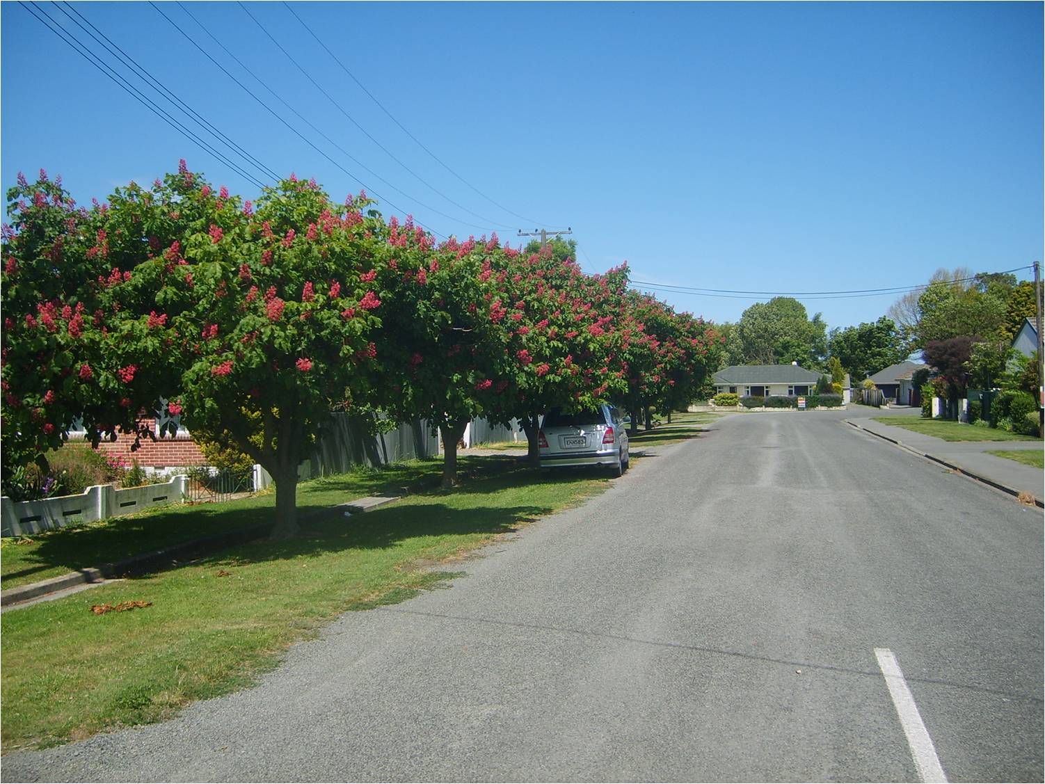
| 04:36, 23 January 2009 | Moffat Drive.jpg (file) |  |
261 KB | 1 | |
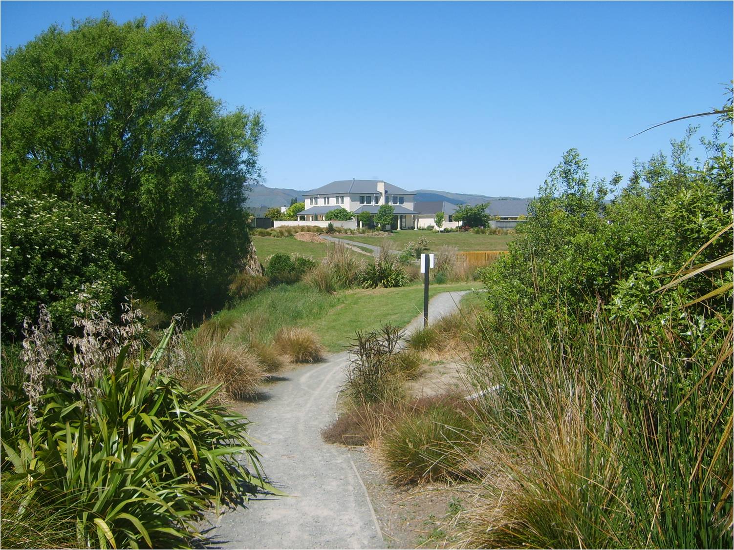
| 04:32, 23 January 2009 | Liffey walk path.jpg (file) |  |
343 KB | 1 | |
| 04:32, 23 January 2009 | Liffey.jpg (file) |  |
354 KB | 1 | |
| 04:31, 23 January 2009 | Landcare Grounds.jpg (file) |  |
274 KB | 1 | |
| 04:30, 23 January 2009 | Heathridge Place.jpg (file) |  |
193 KB | 1 | |
| 04:30, 23 January 2009 | Gerald Street.jpg (file) |  |
208 KB | 1 | |
| 04:29, 23 January 2009 | Edwards Street Approach.jpg (file) |  |
201 KB | 1 | |
| 00:53, 23 January 2009 | Community Centre.jpg (file) |  |
185 KB | 1 | |
| 00:52, 23 January 2009 | Bowls Club.jpg (file) |  |
163 KB | 1 | |
| 00:52, 23 January 2009 | Barker Street.jpg (file) |  |
223 KB | 1 | |
| 00:51, 23 January 2009 | Ag Research.jpg (file) |  |
197 KB | 1 | |
| 00:50, 23 January 2009 | Weston Way.jpg (file) |  |
152 KB | 1 | |
| 00:50, 23 January 2009 | The Mews Exit.jpg (file) |  |
204 KB | 1 | |
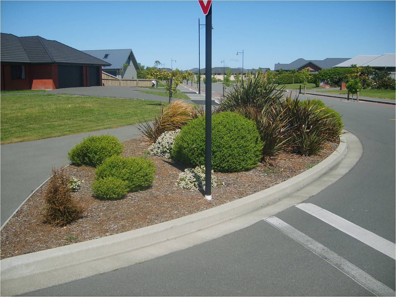
| 00:49, 23 January 2009 | Springs Road Roundabout View West.jpg (file) |  |
236 KB | 1 | |
| 00:49, 23 January 2009 | Southfield Drive.jpg (file) |  |
259 KB | 1 | |
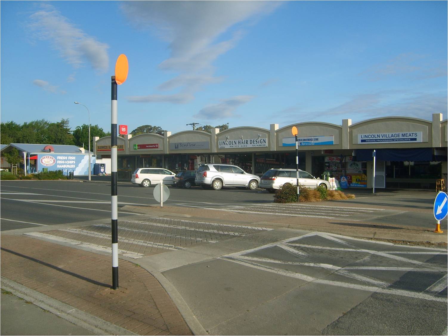
| 00:48, 23 January 2009 | Shops.jpg (file) |  |
164 KB | 1 | |
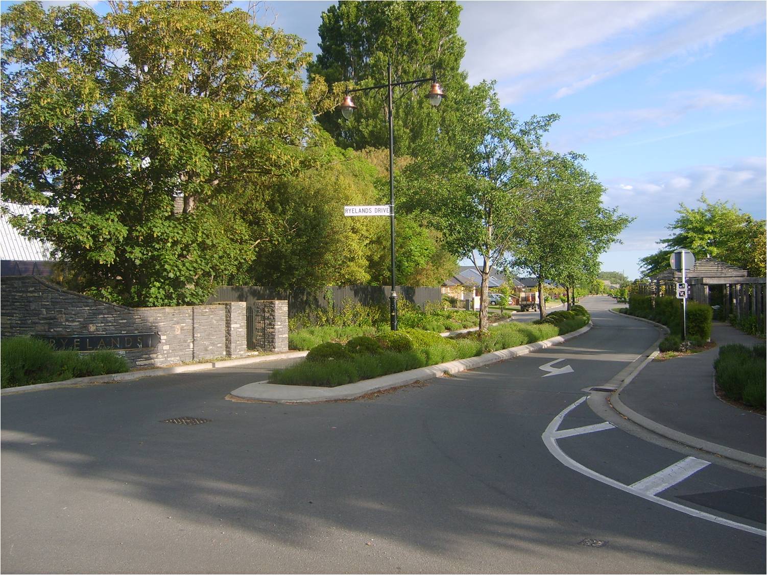
| 00:48, 23 January 2009 | Ryelands Entrance.jpg (file) |  |
306 KB | 1 | |
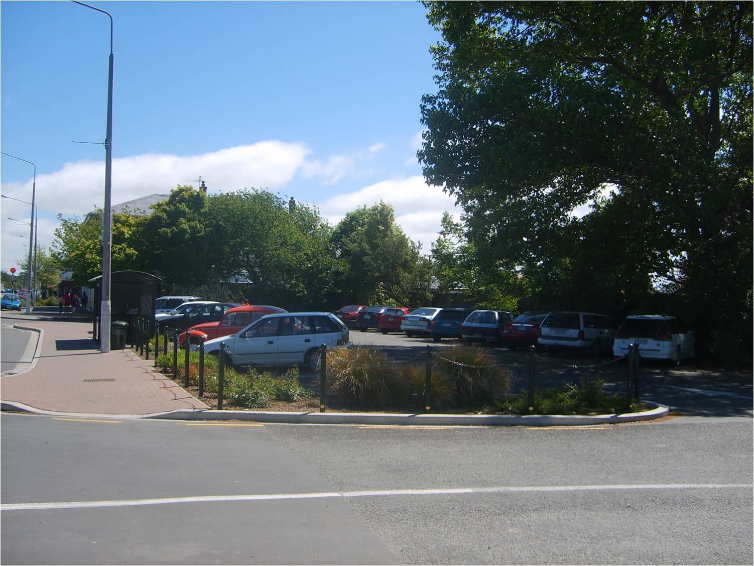
| 00:47, 23 January 2009 | Pub Car Park.jpg (file) |  |
225 KB | 1 | |
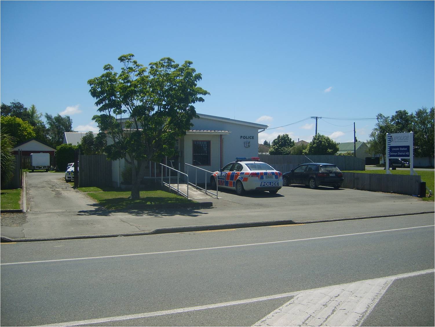
| 00:47, 23 January 2009 | Police Station.jpg (file) |  |
187 KB | 1 | |
| 00:46, 23 January 2009 | North Belt.jpg (file) |  |
293 KB | 1 | |
| 00:45, 23 January 2009 | Millstream Drive.jpg (file) |  |
261 KB | 1 | |
| 00:44, 23 January 2009 | Liffey Fields.jpg (file) |  |
151 KB | 1 | |
| 00:44, 23 January 2009 | Leinster Terrace.jpg (file) |  |
270 KB | 1 | |
| 00:43, 23 January 2009 | Kildare Terrace.jpg (file) |  |
214 KB | 1 | |
| 00:42, 23 January 2009 | Health Centre.jpg (file) |  |
171 KB | 1 | |
| 00:42, 23 January 2009 | Former location of market square.jpg (file) |  |
157 KB | 1 | |
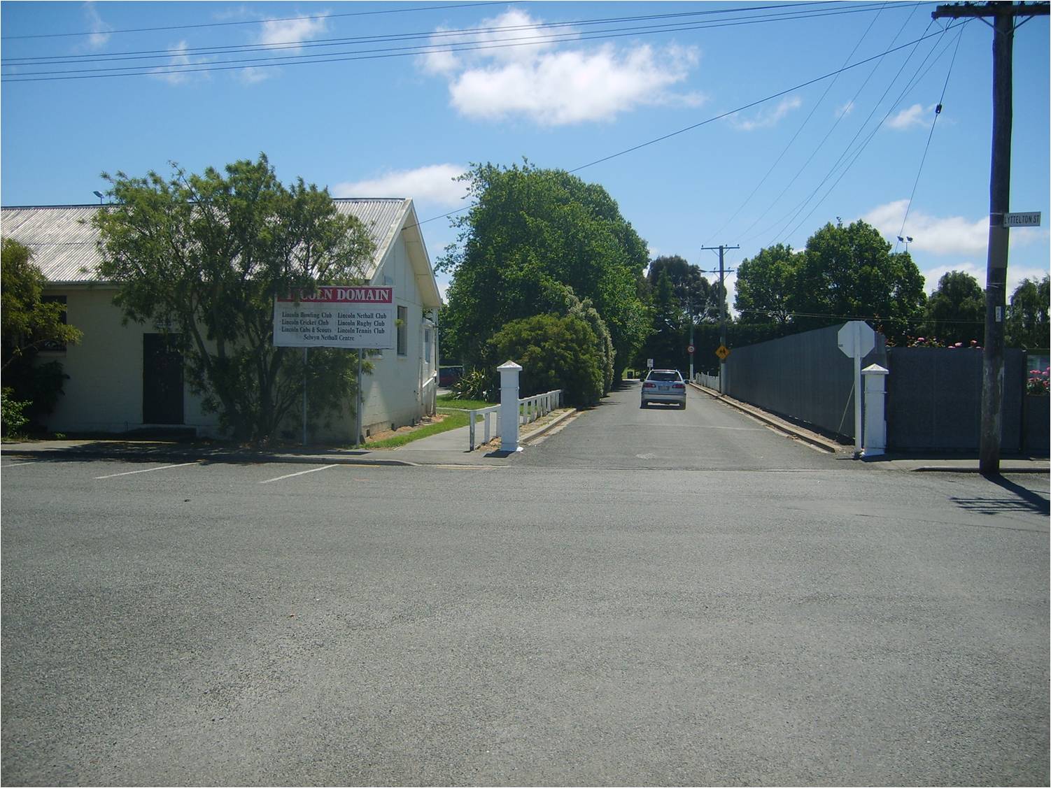
| 00:41, 23 January 2009 | Domain Entrance.jpg (file) |  |
248 KB | 1 | |
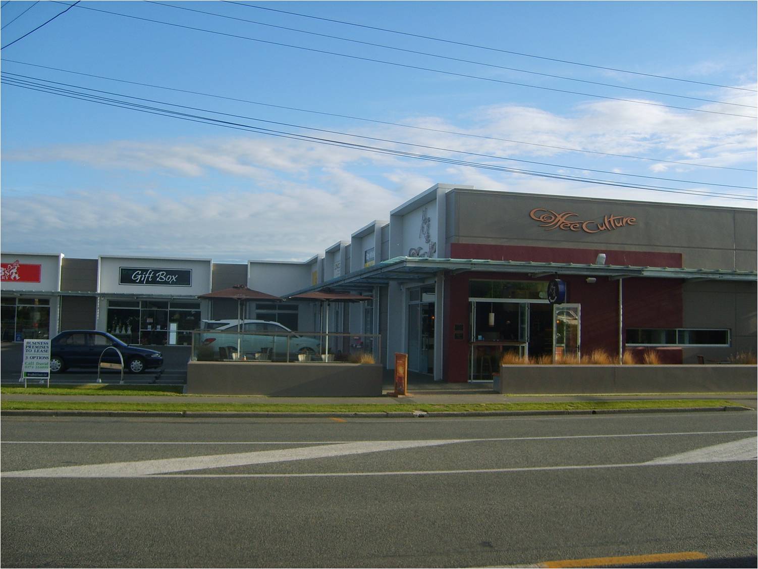
| 00:41, 23 January 2009 | Coffee Culture Cafe.jpg (file) |  |
166 KB | 1 | |
| 00:40, 23 January 2009 | Birches Road edge.jpg (file) |  |
283 KB | 1 | |
| 00:38, 23 January 2009 | Ashgrove Crescent.jpg (file) |  |
142 KB | 1 | |
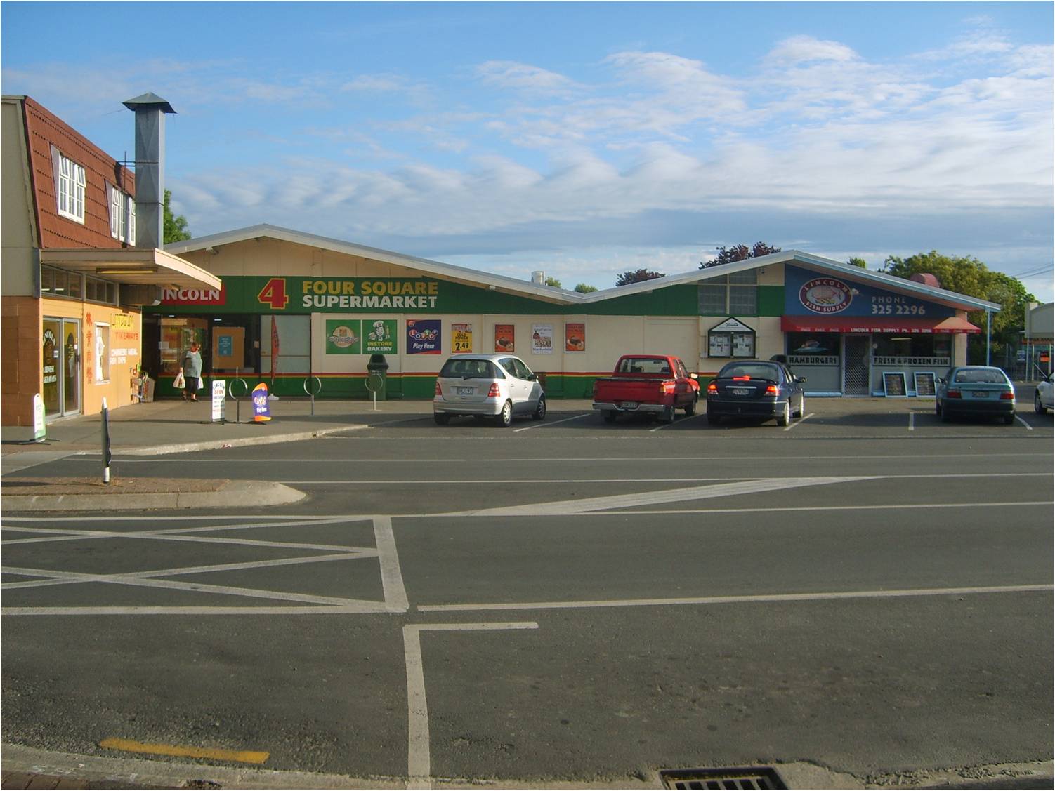
| 00:08, 23 January 2009 | 4 square.jpg (file) |  |
170 KB | 1 | |
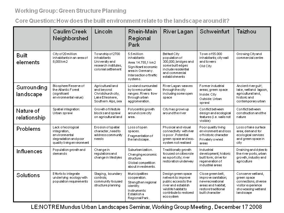
| 11:44, 20 January 2009 | GSP Question 5.jpg (file) |  |
154 KB | 1 | |
| 03:15, 19 December 2008 | Ag research.jpg (file) |  |
125 KB | 1 | |
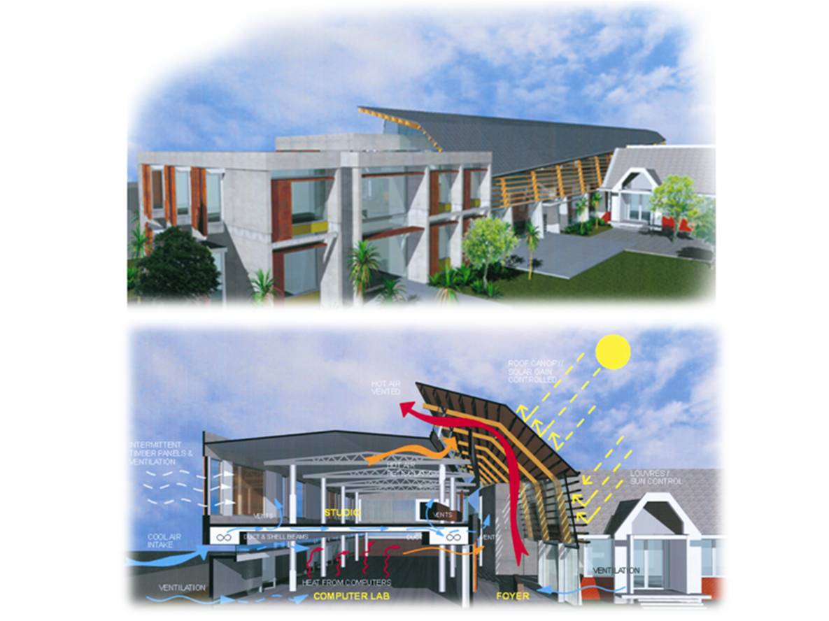
| 03:02, 19 December 2008 | New Landscape Building.jpg (file) |  |
88 KB | Image Source: University of Lincoln Marketing Department | 1 |
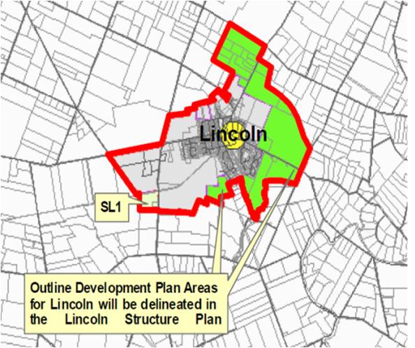
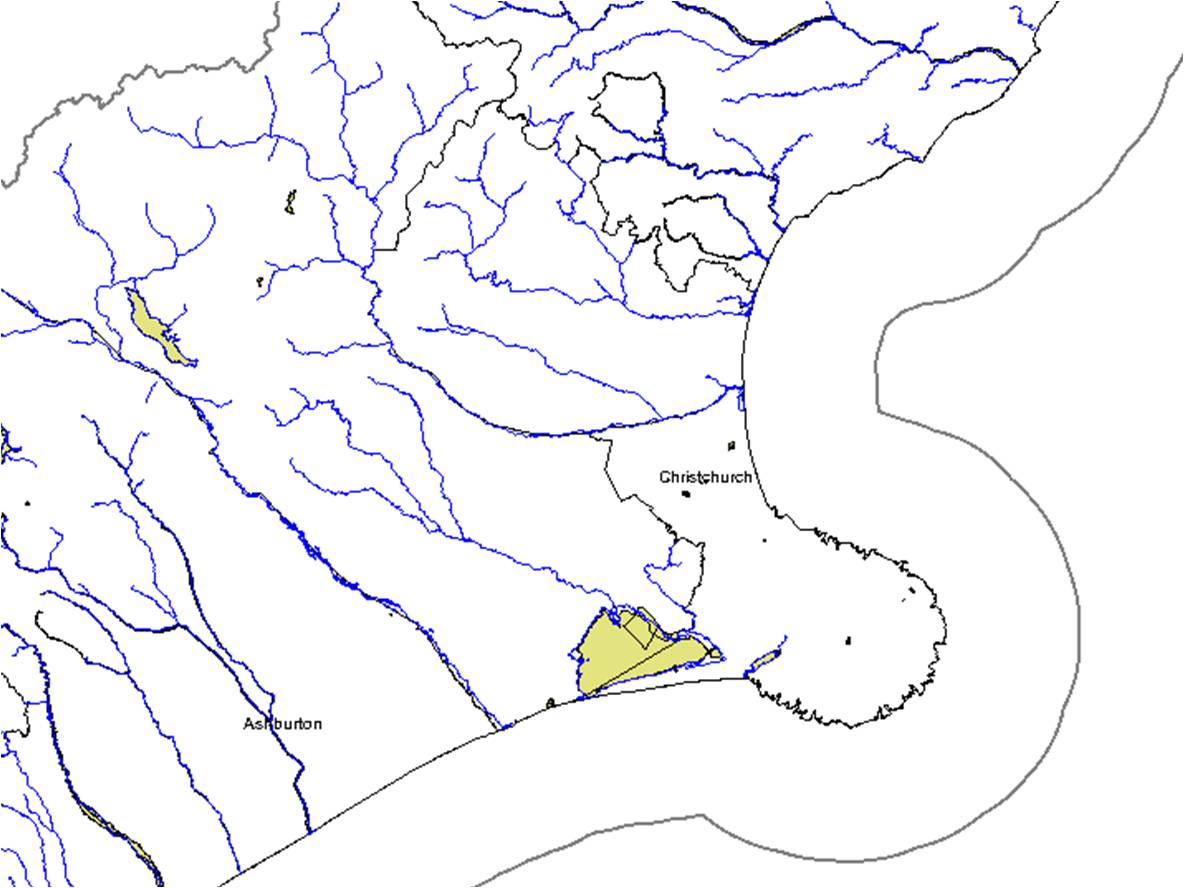
| 02:56, 19 December 2008 | Lincoln Urban Limits.jpg (file) |  |
61 KB | Image Source: Greater Christchurch Development Strategy | 1 |
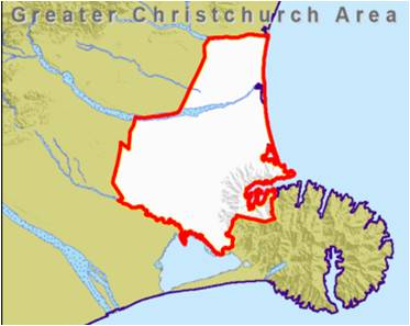
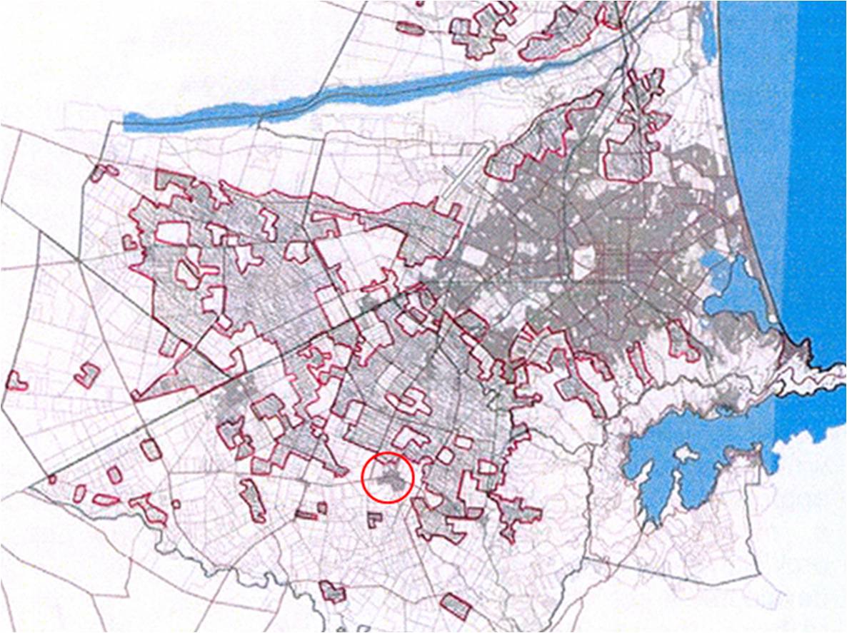
| 02:52, 19 December 2008 | Greater Christchurch Area.jpg (file) |  |
16 KB | Image Source: Greater Christchurch Urban Development Strategy | 1 |
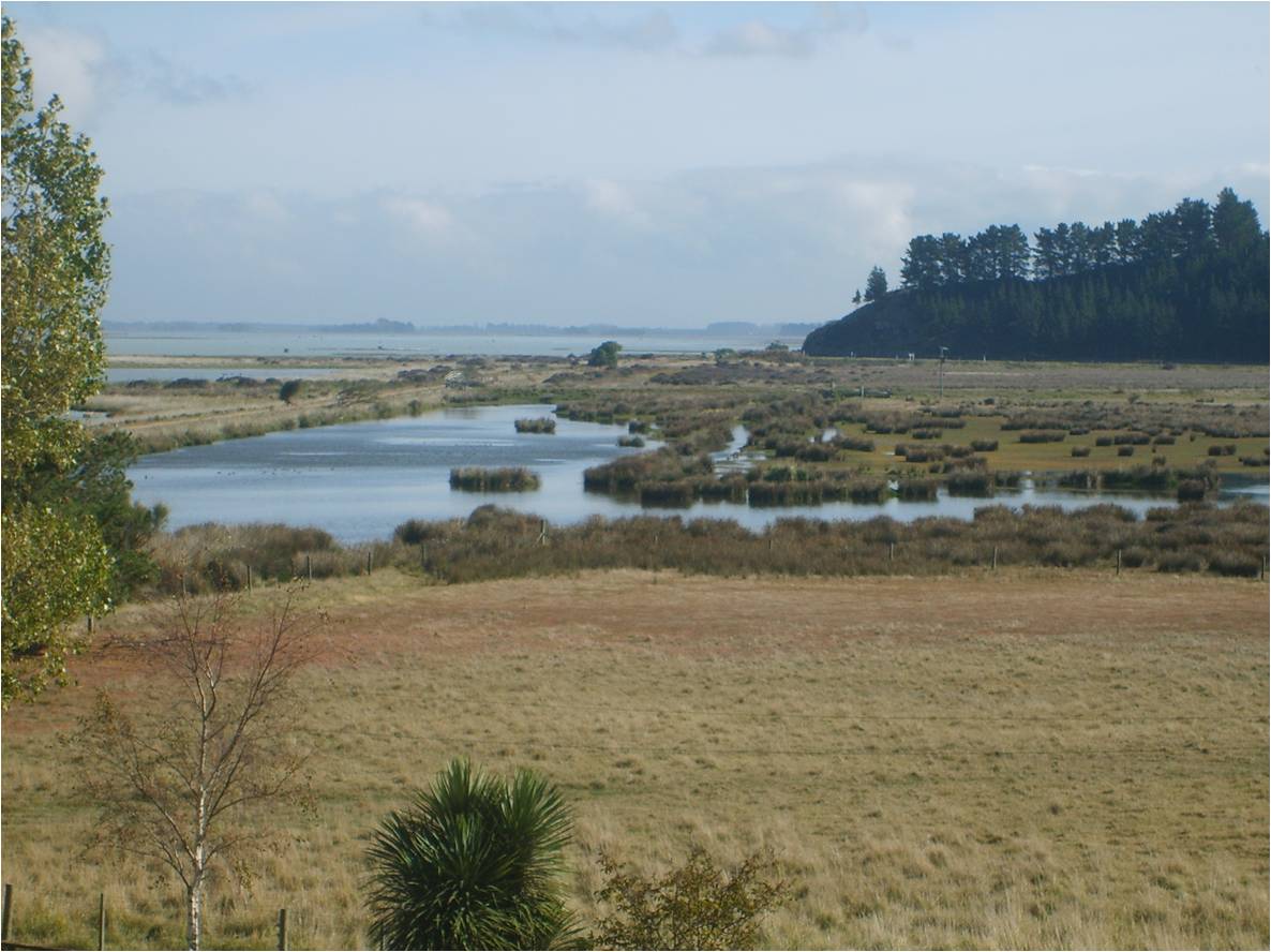
| 02:42, 19 December 2008 | Kaituna Lake Ellesmere.jpg (file) |  |
123 KB | Marshland at Kaituna on the edge of Lake Ellesmere 2008 | 1 |
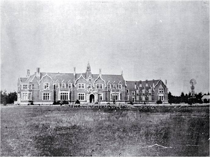
| 02:32, 19 December 2008 | Ivey Hall 1921.jpg (file) |  |
58 KB | Image: Ivey Hall 1921 Obtained from Christchurch City Libraries | 1 |
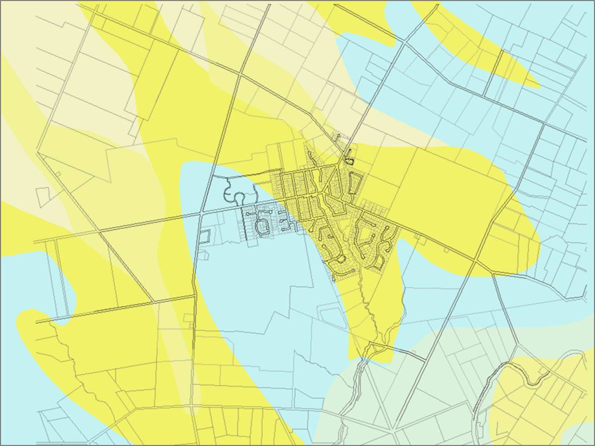
| 02:27, 19 December 2008 | Settlement Area.jpg (file) |  |
97 KB | Image Source: http://www.ecan.govt.nz/ECanMapping/viewer.htm | 1 |
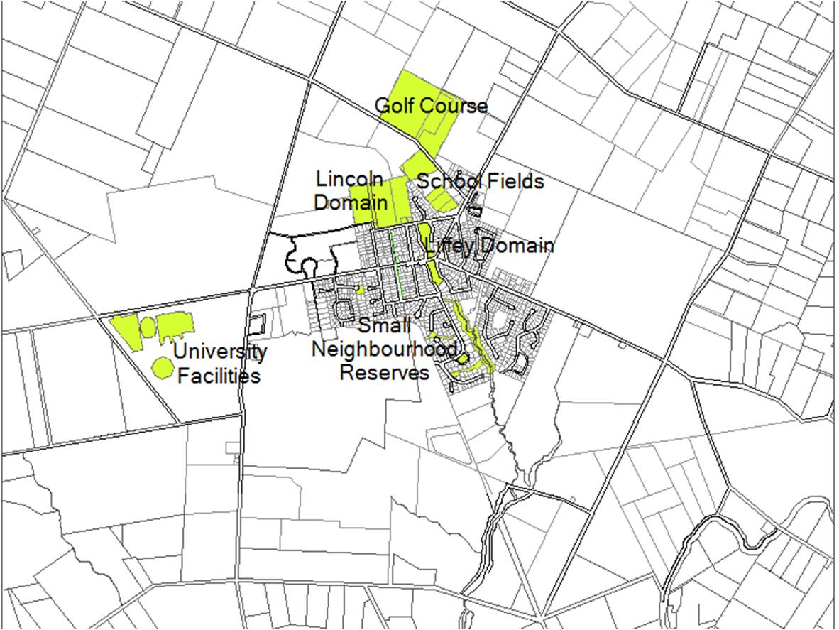
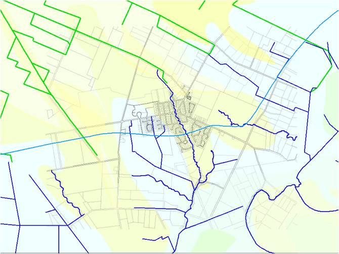
| 01:36, 19 December 2008 | Existing Green Space.jpg (file) |  |
147 KB | 1 | |
| 23:32, 18 December 2008 | Lifestyle Blocks.jpg (file) |  |
157 KB | Image Source: Greater Christchurch Development Strategy Workshop 2006 | 1 |
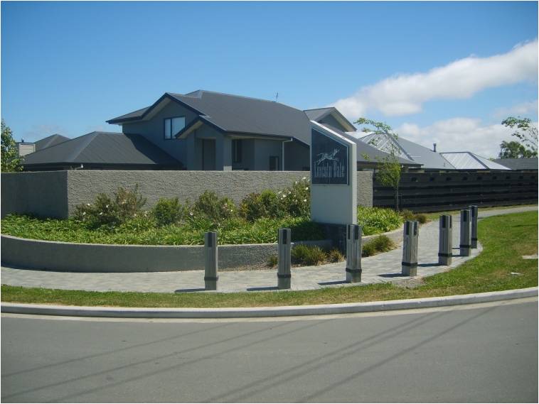
| 23:22, 18 December 2008 | Distinctive New Subdivisions.jpg (file) |  |
50 KB | 1 | |
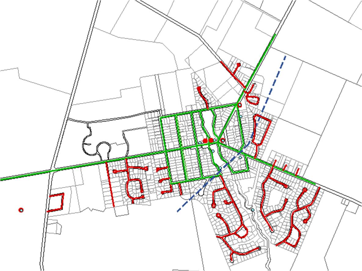
| 23:19, 18 December 2008 | Contemporary Urban Form.jpg (file) |  |
130 KB | 1 | |
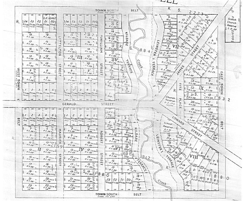
| 23:14, 18 December 2008 | Lincoln Historic Map.jpg (file) |  |
124 KB | Source: Copy of D.R.P 21 signed by Henry P Blanchard | 1 |
| 23:08, 18 December 2008 | Soil Map.jpg (file) |  |
100 KB | Redrawn from: Kear, B.S., Gibbs, H.S. & Miller, R.B. 1967. Soils of the Downs and Plains Canterbury and North Otago New Zealand, New Zealand Soil Bureau bulletin No. 14. Wellington: New Zealand Deptartment of Scientific and Industrial Research. | 1 |
| 23:04, 18 December 2008 | Historic Lake Edge.jpg (file) |  |
51 KB | 1 | |
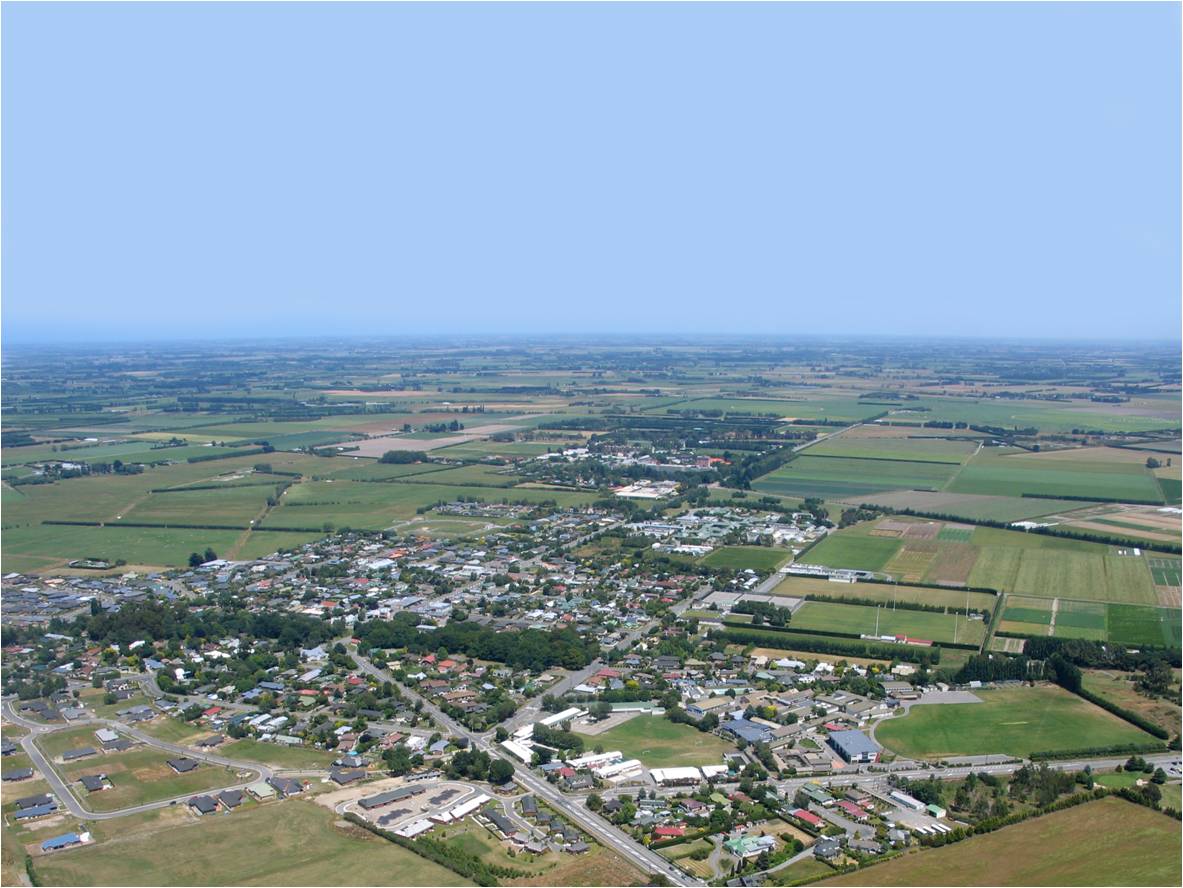
| 23:00, 18 December 2008 | Lincoln Aerial Photo.jpg (file) |  |
140 KB | Source: http://en.wikipedia.org/wiki/Lincoln,_New_Zealand | 1 |
| 22:05, 18 December 2008 | Planting Today.jpg (file) |  |
156 KB | 1 |