Uploads by Gishtim
Jump to navigation
Jump to search
This special page shows all uploaded files.
| Date | Name | Thumbnail | Size | Description | Versions |
|---|---|---|---|---|---|
| 19:32, 25 January 2015 | TIRANA RIVER ANALYSIS SLIDE, Nataly Montoya.jpg (file) | 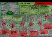 |
275 KB | 1 | |
| 13:01, 1 December 2014 | GI Group C - Mirsa Gishti Green infrastructure north Tirana slide 2.jpg (file) | 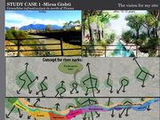 |
162 KB | Green infrastructure multi-functional benefits The green infrastructure of this site aims to “restore” the river to its condition of natural value and texture. The second step is to concept the river’s park as series of parks. The third step is t... | 1 |
| 13:00, 1 December 2014 | GI Group C - Mirsa Gishti Green infrastructure north Tirana slide 1.jpg (file) | 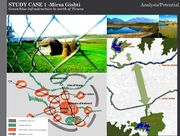 |
0 bytes | The area of my case study is the north part of Tirana, the capital city of Albania. The river of Tirana is located between the historic center and the National Park of the Paskuqani in northern part of the city. It is one of the 5 developing poles of t... | 2 |
| 12:48, 1 December 2014 | Connectivity sections.jpg (file) |  |
348 KB | 1 | |
| 12:36, 1 December 2014 | Restoration of the river.jpg (file) | 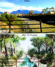 |
1.55 MB | 1 | |
| 10:47, 1 December 2014 | Multifunctionality proposal.jpg (file) |  |
387 KB | 2 | |
| 17:06, 27 November 2014 | Tirana landuse and informal settlements.jpg (file) | 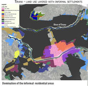 |
376 KB | 1 | |
| 16:16, 27 November 2014 | River' parks proposals.jpg (file) |  |
391 KB | 1 | |
| 15:59, 27 November 2014 | Spatial concept.jpg (file) | 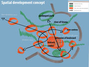 |
188 KB | 1 | |
| 15:46, 27 November 2014 | SWOT opportunities.jpg (file) | 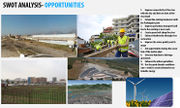 |
337 KB | 3 | |
| 15:39, 27 November 2014 | SWOT weaknesses.jpg (file) | 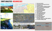 |
1.34 MB | 3 | |
| 14:46, 27 November 2014 | Green spaces analysis.jpg (file) |  |
1.25 MB | 2 | |
| 14:41, 27 November 2014 | SWOT threats.jpg (file) |  |
447 KB | 1 | |
| 13:23, 27 November 2014 | SWOT STRENGTHS.jpg (file) | 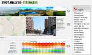 |
420 KB | 1 | |
| 15:02, 26 November 2014 | Tram Project of the Municipality of Tirana.jpg (file) | 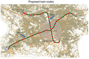 |
385 KB | 1 | |
| 14:58, 26 November 2014 | Study case area.jpg (file) | 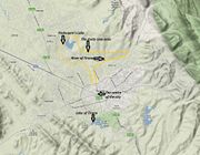 |
326 KB | 1 | |
| 22:56, 25 November 2014 | Tirana 2004-07-14 - Paskuqani aerial.jpg (file) |  |
592 KB | 1 | |
| 22:55, 25 November 2014 | Terrain Tirana.jpg (file) | 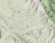 |
596 KB | 1 | |
| 22:54, 25 November 2014 | Strom-water inefficence.jpg (file) | 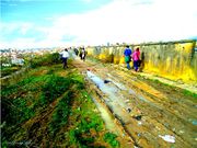 |
95 KB | 1 | |
| 22:53, 25 November 2014 | Informal dwellings on the riverside.jpg (file) | 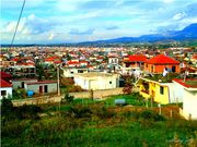 |
106 KB | 1 | |
| 22:52, 25 November 2014 | Paskuqani's lake surroundings.jpg (file) | 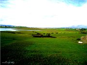 |
55 KB | 1 | |
| 22:52, 25 November 2014 | Not functional grasslands near the river.jpg (file) | 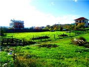 |
93 KB | 1 | |
| 22:51, 25 November 2014 | River of Tirana, central bridge view 3.jpg (file) | 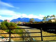 |
80 KB | 1 | |
| 22:51, 25 November 2014 | Blocked path to Paskuqani's Lake.jpg (file) | 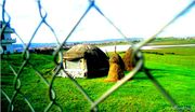 |
66 KB | 1 | |
| 22:50, 25 November 2014 | Paskuqani's lake north Tiana.jpg (file) |  |
96 KB | 1 | |
| 22:49, 25 November 2014 | River of Tirana, bridge view 2.jpg (file) | 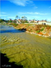 |
67 KB | 1 | |
| 22:49, 25 November 2014 | River of Tirana, central bridge view.jpg (file) | 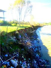 |
89 KB | 1 | |
| 22:47, 25 November 2014 | Administrative Boundary Tirana.jpg (file) | 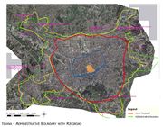 |
506 KB | 1 | |
| 22:45, 25 November 2014 | Roads system in Tirana.gif (file) | 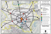 |
139 KB | 1 | |
| 22:35, 25 November 2014 | Tirana's Natural Boundaries.jpg (file) | 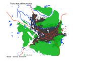 |
161 KB | 1 | |
| 15:35, 24 November 2014 | Swot river of Tirana.jpg (file) |  |
205 KB | 1 | |
| 15:32, 24 November 2014 | Swot.jpg (file) |  |
211 KB | 3 | |
| 15:25, 24 November 2014 | Potential parks of Tirana.jpg (file) |  |
192 KB | 1 | |
| 15:08, 24 November 2014 | Figure 8 Photos of the polluted river area, 2012..jpg (file) | 0 bytes | 1 | ||
| 15:08, 24 November 2014 | Masterplan of Tirana river proposal.jpg (file) | 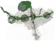 |
49 KB | 1 | |
| 14:57, 24 November 2014 | Green spaces Tirana North plan.jpg (file) |  |
497 KB | 1 | |
| 12:25, 24 November 2014 | Green spaces Tirana North.jpg (file) | 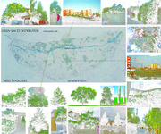 |
824 KB | 2 | |
| 23:34, 22 November 2014 | Visualization of the streets and urban patterns.jpg (file) |  |
53 KB | 1 | |
| 23:04, 22 November 2014 | Green spaces and types of trees.jpg (file) |  |
896 KB | 1 | |
| 22:44, 22 November 2014 | Tirana river land use.jpg (file) |  |
93 KB | 1 | |
| 22:43, 22 November 2014 | Tirana rivers and lakes.jpg (file) | 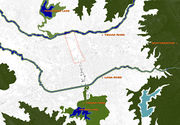 |
92 KB | 1 | |
| 22:33, 22 November 2014 | Historical evolution.jpg (file) | 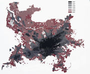 |
418 KB | 1 | |
| 22:16, 22 November 2014 | Geomorfology of the site.jpg (file) |  |
226 KB | 1 | |
| 21:38, 22 November 2014 | Existing map.jpg (file) |  |
1.91 MB | 1 | |
| 19:26, 13 November 2014 | River of Tirana.jpg (file) | 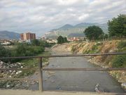 |
1.14 MB | 1 | |
| 18:16, 13 November 2014 | Topography of Tirana Riverside.jpg (file) |  |
66 KB | 1 | |
| 18:15, 13 November 2014 | Landuse Tirana River.jpg (file) |  |
31 KB | 1 | |
| 15:49, 11 November 2014 | River of North Tirana, Albania 2.jpg (file) | 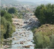 |
60 KB | 1 | |
| 15:49, 11 November 2014 | River of North Tirana, Albania 1.jpg (file) | 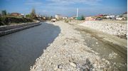 |
110 KB | 1 | |
| 15:39, 11 November 2014 | River of North Tirana, Albania.jpg (file) | 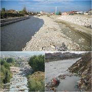 |
211 KB | The river of Tirana is a semi-natural and natural area in the north of the city. It will be densified in the next decade, according to the new Regulatory plan of Tirana^s Municipality and for that reason it is the right area to develop the Green Infras... | 1 |