Geo-referenced Control Points: Difference between revisions
Jump to navigation
Jump to search
m (→Map) |
m (→Map) |
||
| Line 2: | Line 2: | ||
<googlemap version="0.9" lat="-43.639802" lon="172.473507" zoom="14" height="600"> | <googlemap version="0.9" lat="-43.639802" lon="172.473507" zoom="14" height="600"> | ||
(A) -43.64151, 172.473893 | (A) -43.64151, 172.473893 | ||
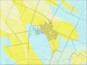
This is the point[[Image: | This is the point[[Image:Soil_Map.jpg|150px x 155px|thumb|left|<div style="font-size: 85%;"><center>Soil Map</center></div>]] | ||
-43.642349, 172.469301 | -43.642349, 172.469301 | ||
</googlemap> | </googlemap> | ||
